Chapter 29
Environment Impact Assessment [EIA] in the Northern & Southern Part of Barapukuria Coal Mine under BCMCL
Presented by:
Engr Abul KM Shamsuddin; EIA Team Leader;
House of Consultant; Sub-Consultant of Consortium of John T Boyd Co, & Mazumder Enterprise for Feasibility Study for Mining in the Northern & Southern Part of Barapukuria Coal Mine.
Venue: Department of Environment (DOE); Agargaon, Dhaka; 15 July 2019.
Environmental Impact Assessment (EIA)
Environmental Impact Assessment (EIA) of Extension of Existing Underground Mining Operation of Barapukuria Coal Mine towards the Southern and the Northern Side of the Barapukuria Coal Basin without Interruption of Present Production at Parbatipur, Dinajpur, Bangladesh.
The Project & the Project Area
- House of Consultants Ltd (HCL) has been engaged by John T Boyd & ME to provide Consultancy Services for EIA, EMP, Study of the Socio- Economic Impacts Assessment, Assessment of Resettlement Requirements and Preparation of a Resettlement Action Plan for Feasibility Study for extension of existing underground mining operation of Barapukuria coal mine towards the southern and the northern side of the basin without interruption of the present production in the Central part. Consultants commenced their services since 14th May 2017.
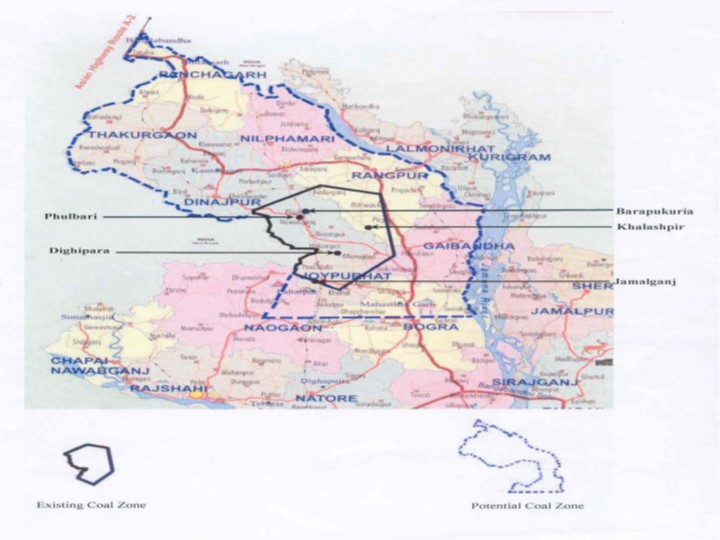
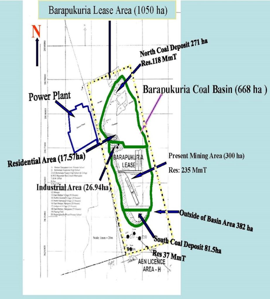
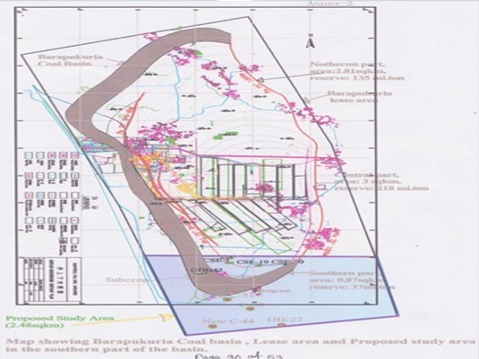
- The project area is situated in the Barapukuria under Parbatipur Upazilla in the District of Dinajpur of Bangladesh. The Barapukuria Coal Mine Area lies in the area between 25033’44.46”N & 88057’55.35”E (North-West corner), 25033’45.43”N & 88058’25.31”E (North-East corner), 25031’01.58”N & 88057’59.28”E (South-West corner) and 25031’19.75”N & 88059’14.75”E (South-East corner). The location of Barapukuria Coal Mine area is presented in next slides.
Feasibility Study & EIA Study
The present feasibility study along with EIA study is carried out in 1.5 sq. km. in the northern part and 3.0 sq. km. in southern part of the Barapukuria coal basin as extension of existing coal extraction. Accordingly, House of Consultants Ltd. (HCL) is engaged for Environmental Impact Assessment, hydro geological study related to impacts, socio-economic impacts, and assessment of resettlement requirements and preparation of a resettlement action plan due to extraction of coal in the extension area of the central part towards Northern and Southern sides. Hydro-geological Studies have been done by Institute of Water Modeling (IWM), Mohakhali DOHS, Dhaka.
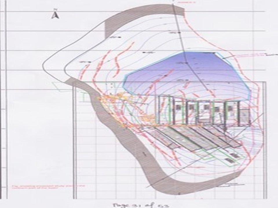
Proposed Mining in the Northern & Southern Part
- Proposed Development Mining in the Northern Part & Southern Part:
- Southern Part: Longwall operations at 1.2 Mtpa to completion of Coal Resources.
- Northern Part: Bord and Pillar (B & P) operations at average rate of 740 Ktpa.
- A total of 16.423 Mt has been scheduled for production over a period of 15-years. Following cessation of Southern Part Longwall after 10-years, Bord and Pillar (B & P) operations in the Northern Part will commence. It has been assumed to relocate Longwall from Central Part. It has been assumed to operate longwall at higher rate in the Southern Part. B & P operations in the Northern Part will provide largest benefits in terms of longer Project life of 15-years, higher recovery of coal resources and to operate one mining area at a time.
Geological Environmental Condition
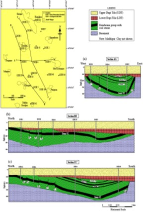
Geologically, the Barapukuria Coal Mine (BCM) lies on the Rangpur Saddle in the stable platform part of Bengal Basin. The Barapukuria basin is a NNW-SSE elongated, narrow, and shallow Permo-Carboniferous in tracratonic rift basin in the Rangpur Saddle of Dinajpur Platform. The area is a plain land covered by Recent Alluvium and Pleistocene Barind Clay Residuum. The sedimentary rocks of Permian Gondwana Group, Mio-Pliocene DupiTila Formation, Pleistocene Barind Clay and Recent Alluvium were encountered in the boreholes, which lie on the Pre-Cambrian igneous metamorphic Basement Complex.
Topology in Coal Basin Area
Topographically, BCM and surrounding area is a gently undulating plain generally sloping from north-west to south-east. The BCM area is between 30-32m above the mean sea level. This region mostly occupies the north- eastern and eastern edge of the Barind Tract which stand slightly higher than adjoining floodplain land. In most areas, the relief is smooth and almost level.
Geomorphology of the Area
The Barapukuria coal mine and surrounding area constitutes two physiographic units: Barind Tract and Teesta floodplain. This terrace consists of reddish and yellowish and partially mottled clays and is characterized morphologically by a dendrite drainage pattern. Teesta floodplain is an elongated outlier representing the floodplain of the ancient Teesta. Most of the land is shallowly flooded during monsoons, have broad floodplain ridges and almost level basins.
Soils and Hydrology
The soil in the land above the coal mine is made of Noadda and Amnura soil associations. The soil is predominantly clay to clay loam underlain mainly by clay soil. The area is criss-crossed by a number of streams: the Kharkhari, the Jamuna (local name) and the Ghirnai. Most of the streams are locally originated and are of locally filled by rainwater. The flow direction of the rivers is NNW to SSE.
Meteorology in the Study Area
The study area experiences a sub-tropical humid monsoon climate. In summer the mean maximum temperature is about 40°C whereas in winter the mean minimum temperature is below 10°C. The cool weather begins in October and continues up to the end of March. The annual rainfall varies from minimum of 1200 mm and to a maximum of 2600 mm with an average of 2000 mm.
Seismic Activity
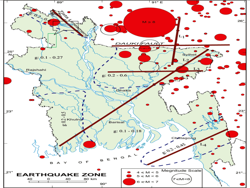
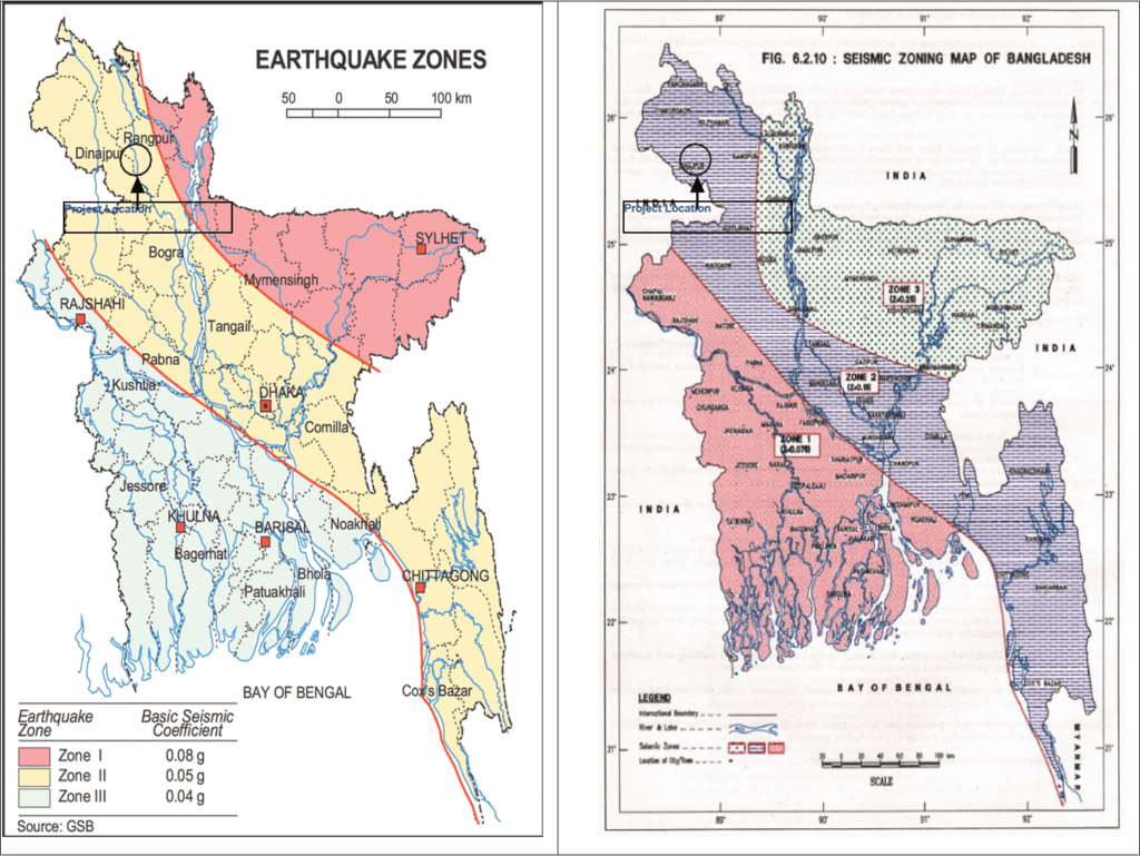
The project area falls in seismic Zone-II. As a result, buildings and land-based structures for this project should be designed to withstand ground accelerations of 0.2g.
Environmental Quality: Soil and Sediment
BCM lies on the Level Barind. The landscape of Level Barind Tract is almost level, locally irregular along river channels. The predominant soils have a grey, silty, puddled topsoil with ploughpan, which either directly overlies grey, heavy, little weathered Madhupur Clay or merges with the porous, silt loam or silty clay loam sub soils. Ferdaushe et al. (2014) identified that the pH of the soil samples of BCM area were in permissible level and thus suitable for agriculture.
Identification and Evaluation of Potential Impacts
Impact on Groundwater Resources
It has been estimated that the draining of about 5150 m3/hour from BCM will be required for the expansion of coal mining. In addition to that the existing power plant will also abstract 1400 m3/hour. Groundwater modeling technique has been used to model the groundwater resource using existing data. The model predicted that a cone of depression of groundwater table will be generated due to withdrawal of water from the mine if proposed expansion of mining is implemented. The area where groundwater table will decline would be about 154 km2 and the depth of groundwater table from ground surface will vary from 7m to about 30m.
Environmental Management Plan & Environmental Monitoring Plan
Water Resources Management Plan
Groundwater is currently abstracted throughout the BCM and surrounding area for agriculture, domestic water supply and industry. Groundwater abstraction for irrigation depends upon deep and shallow tube-wells. Based on the depth to groundwater table four different influence zone types have been identified.
Three Different Influence Zones
In Zone 1, the efficiency of tube-wells will decrease due to increase in drawdown. New tube-wells may need to be installed to maintain the desired supply of water.
For Zone 2 and Zone 3 the existing suction mode hand tube- wells and shallow tube wells will fail to abstract water as the depth to groundwater table is greater than 7.5m. In Zone 2, existing shallow tube-wells will need to be replaced by deep tube-wells. However, the mine drainage water may be used for irrigation water in Zone 2 and Zone 3.
Currently, suction mode HTWs are being used to supply drinking water in rural and semi-urban areas surrounding the BCM. The practical lifting capacity is 22 to 25 feet (~7.5 m). So HTW will fall dry when the groundwater level drops below the lifting capacity. Present tube-wells will need replacement with the Half- Cylinder hand tube-well, Deep set hand tube-well (DSHTW) and Shallow Tube-wells (STWs) in about 154 km2 area surrounding the BCM.
Water Treatment Plant
Recent studies (Rashid et al. 2014; Fardushe et al. 2014; Majumder and Shimada 2016 and analysis of EIA team in August 2017) depicted that the mine drainage water of BCM has more or less neutral to alkaline pH with lower concentrations of heavy metals. Most of the water quality parameters of mine drainage water of BCM are within the national standard for the quality of waste water discharged from industrial units and projects (Bangladesh Environmental Conservation Rules of 1997, ECR 1997). Only Total suspended solid (TSS) and EC sometimes exceeded the national standard (ECR 1997). Total suspended solid (TSS) in mine drainage water varied between 400 and 1000 mg/l (Source: CMC report on water treatment plant).
Use of Mine Drainage Water for the Power Plant
Barapukuria Power Station is located near BCMCL compound. It consists of two 125 megawatt units. This coal- fired power station operated by the Bangladesh Power Development Board (BPDB), currently uses about 33600 m3 of groundwater per day for cooling purposes abstracted by 14 Deep Tube wells (DTWs). The Upper Dupi Tila aquifer is the source of water used by the Power Plant. The same aquifer is also the source of drinking water and irrigation water in BCMCL and surrounding areas. Groundwater modeling predicted that groundwater table will decline substantially over an area of 154 km2 surrounding BCM and the power plant after ten years due to drainage from mine at 5150 m3/hour. Model predicted depth to groundwater table from ground surface will vary from 7m to about 50m. As a result, it would be very difficult to supply sufficient drinking and irrigation water to the people of the area. It is therefore, suggested that the treated drainage water BCMCL be used for cooling purposes of the Power Plant. This will reduce the abstraction of groundwater from the Upper Dupi Tila aquifer by about 33600 m3 per day.
Groundwater Level Monitoring
Groundwater level monitoring is an integral part of groundwater resource management. Currently, groundwater level is monitored only three times in a year in eight (8) Piezometers. It is very important to set up a groundwater level monitoring network for Upper Dupi Tila aquifer covering the whole Gondwana coal basin. The frequency of groundwater lvel monitoring can bee increased to at least twice in a month. Piezometers of 60m depth can be set in different locations surrounding the BCM to monitor the declination of groundwater table.
Subsidence Control and Management
- Subsidence, is controlled by many factors including mining methods, depth of extraction, thickness of deposit, and topography, as well as the in situ properties of the rock mass above the deposit. The impacts of subsidence are potentially severe in terms of damage to surface utility lines and structures, changes in surface-water and ground-water conditions, and effects on vegetation and animals. Although subsidence cannot be eliminated, it can be reduced or controlled in areas where deformation of the ground surface would produce dangerous or costly effects.
- Barrier pillars between successive long walls are required to provide support to immediate overburden. Barrier Pillars thus achieve control over subsidence effects at the base of main aquifer. The Mining Works need to be planned to control subsidence effect at the base of main aquifer in order to reduce the risk of possible inundation. This can be achieved by limiting the size of the mining extraction dimensions or by adopting stowing technology.
Resettlement & Rehabilitation Plan [R & R]
The R&R plan should be a comprehensive framework within which compensation, benefit sharing and community development plans are integrated and the roles of local communities, governments and mining companies are clearly delineated. Compensation for land should be based on the current market price plus an additional sum to account for the opportunity cost of the land. The R&R plan should have proper legal backing and provision for legal remedy in case the plan is not implemented as per the agreement.
Outline for Resettlement & Rehabilitation Plan-1
- Scope of land acquisition and resettlement
- Describe, with the use of maps, the scope of land acquisition and why it is necessary for the main investment project
- Describe alternative options that can be considered to minimize land acquisition and its effects and why the remaining effects are unavoidable
- Summarize key effects in terms of land acquired, assets lost, and people displaced from homes or livelihoods
- Specify primary responsibilities for land acquisition and resettlement
- Socio-economic Information
- Define, Identify and provide details of the people to be affected
- Describe likely impacts of land acquisition on affected people, taking into account social, cultural and economic parameters
- Identify all losses for the people affected by land acquisition
- Provide details of any common property resources
- Specify how the project will impact the poor, indigenous people, ethnic minorities and other
Outline for Resettlement & Rehabilitation Plan-2
- vulnerable groups, including women and any special measures needed to restore fully or enhance their economic and social base
- Objectives, policy framework and Describe the purposes and objectives of land acquisition and resettlement
- Describe key national and local land, compensation and resettlement policies, laws and guidelines that apply entitlements to the project
- Prepare an eligibility policy and entitlement matrix for all categories of loss, including compensation rates
- Consultation and grievance redress participation; Identify project stakeholders
- Describe mechanisms for stakeholder participation in planning, management, monitoring and evaluation
- Identify local institutions or organizations to support the affected people
- Review potential role of non-government organizations (NGOs) and community based organizations (CBOs)
- Establish procedures for addressing the grievances of the affected people
- Relocation of housing and settlements
- Identify options for relocation of housing and other structures, including replacement housing, replacement cash compensation and self-selection
- Specify measures to assist with transfer and establishment at new sites
- Review options for developing relocation sites, if required in terms of location, quality of site and development needs; Provide a plan for layout, design and social infrastructure for each site
- Specify means for safeguarding income and livelihoods
- Identify special measures for addressing gender issues and those related to vulnerable groups
- Identify any environmental risks and show how these will be managed and monitored
- Income restoration strategy; Identify livelihoods at risk
Outline for Resettlement & Rehabilitation Plan-3
- Develop an income restoration strategy with options to restore all types of livelihoods
- Specify job opportunities in a job creation plan, including provisions for income substitution, retraining, self-employment and pensions, where required
- Prepare a plan to relocate and restore businesses, including income substitution where required
- Identify any environmental risks and show how these will be managed and monitored
- Institutional framework
- Identify main tasks and responsibilities in planning, negotiating, approving, coordinating, implementing, financing, monitoring and evaluating land acquisition and resettlement
- Review the mandate of the land acquisition and resettlement agencies and their capacity to plan and manage these tasks
- Provide for capacity building including technical assistance if required
- Specify the role of NGOs if involved and that of organizations of affected populations in resettlement planning and management
- Resettlement budget and financing; Identify land acquisition and resettlement costs
- Prepare an annual budget and specify timing for release of funds
- Specify sources of funding for all land acquisition and resettlement activities
- Implementation schedule
- Provide a time schedule showing start and finish dates for major resettlement tasks
- Show how the affected people will be provided for before demolition begins; Monitoring and evaluation
- Prepare a plan for internal monitoring of resettlement targets, specifying key indicators of progress, mechanisms for reporting and resource requirements
- Prepare an evaluation plan with provision for external independent evaluation of extent to which policy objectives have been achieved; Specify participation for people
- Source: Asian Development Bank, Handbook and book on Resettlement, A guide to Good practice
Compensation & Resettlement Budget
- Land Acquisition Cost: 644 acre: Total Cost = BDT 4,070,365,292.00/-
- Compensation for Trees: Total Cost = BDT 81,063,604/-
- Compensation for Crop Damage (one year) = BDT 75,188,634/-
- Compensation for Structures = BDT 139,050,000/-
- Cost for Houses (4-Ashrayan; 480 no’s) = BDT 345,600,000/-
- Misc. Civil Costs (5-Ashrayan), Health, Masjid = BDT 155,416,000/-
- Dev, maintenance, rehabilitation = BDT 500,000,000/-
- Fund for Corporate Social Responsibility [CSR] = BDT 100,000,000/-
- Costs for NGO Engagement = BDT 90,000,000/-
- Costs for Technical Assistance to BCMCL = BDT 20,000,000/-
- Research. Monitoring & Evaluation by 3rd Party = BDT 50,000,000/-
- Subsidence & Future Impact Fund = BDT 100,000,000/
- Electricity to Ashrayan = BDT 1,60,00,000/-
- Grand Total = BDT 8,306,480,339/-
Mine Closure Plan
- A logical Framework shall be established for mine closure including rehabilitation and decommissioning strategies. In this regard a mine closure plan should be considered a template on which future activities should be based. It shall be in accordance with good industry practice as well as meeting the statutory requirements and will not pose an unacceptable risk to public health and safety.
- After completion of mining at the Barapukuria Coal Mine, all infrastructures at the site will be removed (excluding the rail lines, southern section of the mine perimeter and water management structures) and the land rehabilitated in accordance with the Mine Closure Plan. The most effective mine closure plans are those that are integrated with the long term operational plans of the mine and are subject to regular review to accommodate regulatory, technological, social and economic change. The necessary criteria need to integrate to maintain a best practice approach to mine closure. Through a stakeholder engagement process BCMCL will need to refine these broader closure criteria to develop a list of criteria that are relevant to the site. Over time, through monitoring and maintenance, BCMCL will need to demonstrate that the criteria are being met.
- Costs for Works of Mine Closure: BDT 50.00 Lacs.
Risk Management; Mine Hazards and Safety
In Mining Northern and Southern Zone of Barapukuria Coal Mine – Risk Assessment and Management Technique is to be implemented for improving safety in the Mine. These techniques are applicable for the whole of Barapukuria Coal Mine and described below:
- Emergency Response System is to be designed and Emergency Organization Plan is to be formulated and implemented;
- Training and re-training of workers are to be made for improving their knowledge In the domain of their working and awareness about safety;
- Periodical Medical Examination of workers is to be made to know the status of their health with respect of coal dust related and other diseases;
In hot and humid environment, apart from heat stroke, workers are prone to other types of accidents due to their mental state. Therefore, the mine climatic condition in respect of heat and humidity is to be improved;
- The Systematic Support Rules (SSR) for Mine Supports is to be formulated and imposed for reducing the accidents due to roof and sidefalls;
- Safety Rules, by-laws, Standard Operating Procedures (SOP) and code of practices are required to be formulated and implemented;
- Ventilation Plan, with all ventilation control devices – [like Stopping‟s, Air-locks, Regulator, air-crossings, etc.] – Dust Sampling Plan, etc. are required to be prepared and updated at regular intervals.
Disaster Management Plan
It is necessary to create and establish a cell within a Coal Mine area for an effective implementation of any disaster management plan. The function of this cell is to prepare a detailed and specific disaster management plan, which should include the following:
- Identification of various types of expected Coal Mine disasters.
- Identification of various groups, agencies, departments etc. necessary for dealing with a specific disaster effectively.
- Preparation by intensive training of relevant teams/groups within the organization to deal with a specific disaster.
- Establishment of an early detection system for disasters.
- Development of a reliable instant information/communication system
- Instant organization and mobilization of all necessary departments, organizations, groups and agencies when needed.
EMP COST: Management, Mitigation and Monitoring – 1
- The cost of Environmental Management Plan (EMP) will cover the implementation of the following activities:
- Air Quality Management Plan Costing BDT = 50.00lacs.
- Noise Management Plan Costing BDT =10.00lacs.
- Waste Management Plan Costing BDT = 100.00lacs.
- Site Establishment Plan Costing BDT = 5.00 Lacs.
- Water Resources Management Plan Costing BDT = 50.00lacs.
- Water Treatment Plant Costing BDT = 25.00lacs.
- Water Quality Monitoring Stations Costing BDT = 25.00lacs.
- Flood Protection Measures Costing BDT = 25.00lacs.
- Ash Management Plan Costing BDT = 25.00lacs.
- Fisheries Management Plan Costing BDT = 25.00lacs
- Ecosystem Management Plan Costing BDT = 25.00lacs.
- Agricultural Management Plan Costing BDT = 25.00lacs.
- Socio-economic Management Plan Costing BDT = 100.00lacs.
- Occupational Health and Safety(OHS) Costing BDT = 100.00lacs.
- Subsidence Control and Management Costing BDT = 25.00lacs
- Risk and Hazards associated with Mining Costing BDT = 200.00lacs.
- Land Acquisition & Resettlement Plan Costing BDT = 500.00lacs.
- Implementation of Coal Mine Act, Rules and Regulations Costing BDT = 50.00lacs.
- Mine Closure Plan Costing BDT = 50.00lacs
- Training and monitoring to the respective management plan Costing BDT = 50.00lacs.
ESTIMATED TOTAL EMP COST: BDT 1465.00 Lacs
Therefore, estimated EMP cost will be about:
- Northern Zone: BDT 586.00Lac.
- Southern Zone: BDT 879.00Lac.
Public Consultations
As part of public consultation, the relevant consultants arranged meetings with the mixed group of villagers, Local Government Institutions (LGI) i.e. Union Parishad at Hamidpur Union Parishad situated at Dhaulawdul, local affected communities at village level for four mouza at northern area and four villages for seven mouzas at southern area. Theses consultation includes meeting with the beneficiaries at Dhulawdul Ashrayan, concern of the Barapukuria Coal Mine officials at BCMCL, NGOs, discussion with Union Land Officials and with Upazila Nirbahi Officer (UNO) along with the leaders of affected villages and local political leaders.
Details have been presented in the EIA Report.
Significant Benefits from Coal Mine Development in the Northern-Southern Part of BCMCL
- The coal production from Barapukuria Northern and Southern part will have a positive impact in terms of employment and earning of foreign currencies. The most significant benefit of the proposed coal mine development would be reduction of import energy from foreign countries thus saving scarce foreign currencies. The other important benefit of the proposed coal mine would be generation of employment of personnel, both skilled and unskilled, for coal mine operations.
- The implementation of the proposed coal mine burning fuel supply to the power plant, thereby reducing Bangladesh’s dependence on foreign energy sources.
- Mine Construction and Mine Development in the Northern and Southern Part of Barapukuria Coal Mine will bring following benefits to Bangladesh:
- Generation of 275 MW electricity more in addition to existing250MW;
- Industrialization of North-Western Region of Bangladesh using electricity from coal based Power Plants;
- Employment opportunity in Coal Mine and Power Plants;
Socio-economic Impact Assessment
A Socio-Economic Assessment was undertaken in support of the EIA to determine the impacts associated due to extension of existing underground mining operation of Barapukuria Coal Mine towards the southern and the northern side of the basin without interruption of the present production. The main impacts due to expansion of existing underground mining operation of Barapukuria Coal Mine towards the southern and the northern side of the basin would occur as follows:
- around 1100 acres of land will be acquired by displacing all household living in the northern and southern area of Barapukuria Coal Mine;
- around 1100 hhs inside project will be directly affected for loss of land, homestead, infrastructures, trees (176379 nos.) and other facilitates;
- around 400 hhs own land inside project but live outside the project will be affected for loss of agricultural land and crops;
- loss of homestead, pond, business due to displacement from existing area;
- loss of infrastructure for shifting from old place to new place;
- Dislocation of all commercial structure.
Resettlement Action Plan (RAP)
- Involuntary resettlement entails both physical displacement of people and the disruption of their livelihoods. So, planned and equitable Involuntary Resettlement for extension of BCMCL should be institutionalized.
- The main impact of the project regard to resettlement and rehabilitation of the project would occur as follows:
- around 1100 acres of land will be acquired by displacing all household living in the proposed area
- around 1100 hhs inside project will be directly affected for loss of land, homestead, infrastructures, trees and other facilitates
- around 400 hhs own land inside project but live outside the project will be affected for loss of agricultural land and crops due to extension of mining to proposed acquire area
- loss of homestead, pond, business due to displacement from old area to new area
- loss of infrastructure for shifting from old place to new place
- Dislocation of all commercial structure.
Resettlement Budget
Resettlement budget indicated costs for cash compensation under law (CCL) Tk. 659 crore, stamp costs of 15% is Tk. 98 crore, compensation for trees Tk. 8 crore for estimated 176379 number of trees, for agricultural crop damage of one year Tk. 12 crore, structural compensation Tk. 14 crore, transfer grant 10%, construction grant 20%, overall BCMCL grant 20%, CCL for Asrayan 30 crore excluding stamp costs. Others costs in RAP includes 600 houses for 5 Ashrayans with costing Tk. 43 crore, community center, community pond, growth center, HBB road, drainage, water, sanitation, health services, mosque, development and maintenance of rural road, costs for NGO engagement, costs for training, research, consultancy, future subsidence, and costs for corporate social responsibilities (CSR). A total budget proposed for R&R is Tk. 1283 crore is presented in Resettlement Report as Table 14.1. All these facilities together will develop a small mine city for affected and host communities.
Compliance of National Regulations & Operational Requirements to Ensure Environmentally Compatible Execution of Coal Mining in NS Part of BCMCL
- It is expected that BCMCL and its contractors will ensure a smooth, environmentally compatible and socially acceptable execution of extension of existing coal mining and will comply with national regulations and operational requirements as stated below and elaborately described in Chapter 2.
Mining Act 1923, The Mines and Minerals Rules, 1968; Mines Maternity Benefit Act, 1941; National Conservation Strategy (NCS) 1992; National Environmental Management Plan (NEMAP) 1995; Forest Policy(1994); The Bangladesh Forest Act 1927; Other Forest Acts; Industrial Policy (1999); National Water Policy (1999), National Tourism Policy (1992); Energy Policy (1995); Petroleum Policy (1993); Petroleum Act (1974); Environmental Policy (1992); Bangladesh Wildlife Preservation Act (1973; Amended in 1974); Environmental Conservation Act (1995, Amended in 2000 & 2002); Bangladesh Environmental Conservation Act (Amendment 2000); Bangladesh Environmental Conservation Act (Amendment 2002); Environmental Conservation Rules (1997); Mineral Gas Safety Rules 1991 (Amendment 2003); Explosives Act, 1884; Explosives Substances Act, 1908; Compliance with Bangladesh Labour Act, 2006; East Bengal Protection and Conservation of Fish Act (1950); The Protection and Conservation of Fish Rules (1985); The Penal Code (1860); Acquisition and Requisition of Immovable Property Ordinance (ARIPO1982).


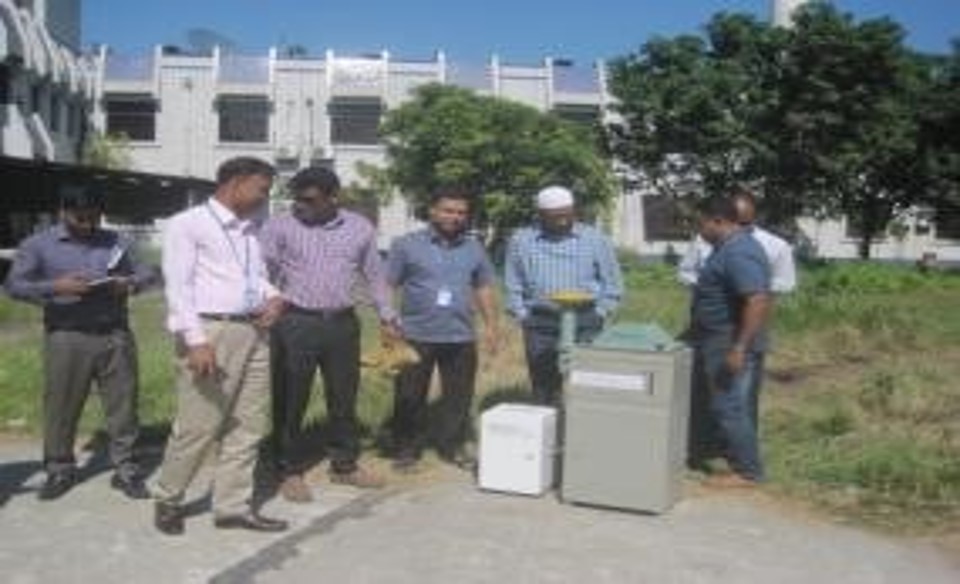
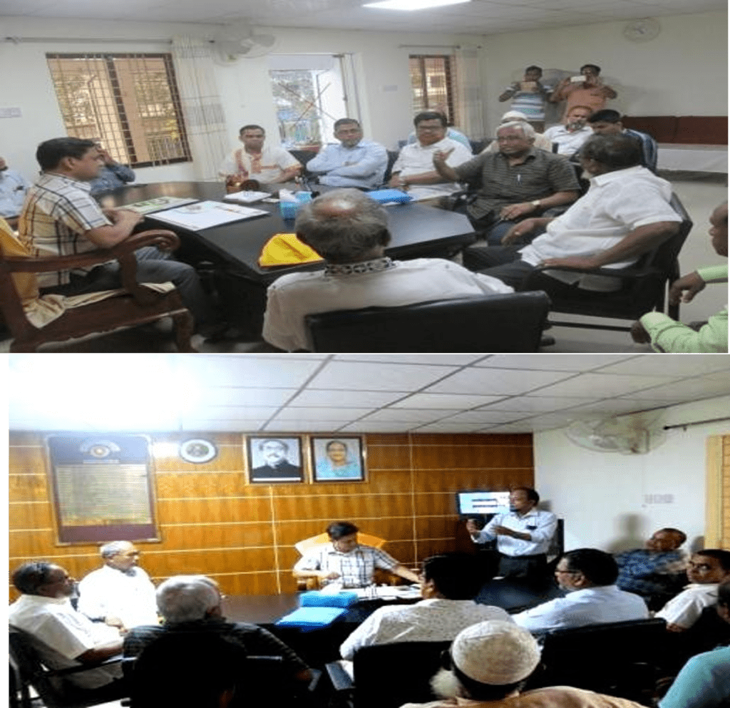
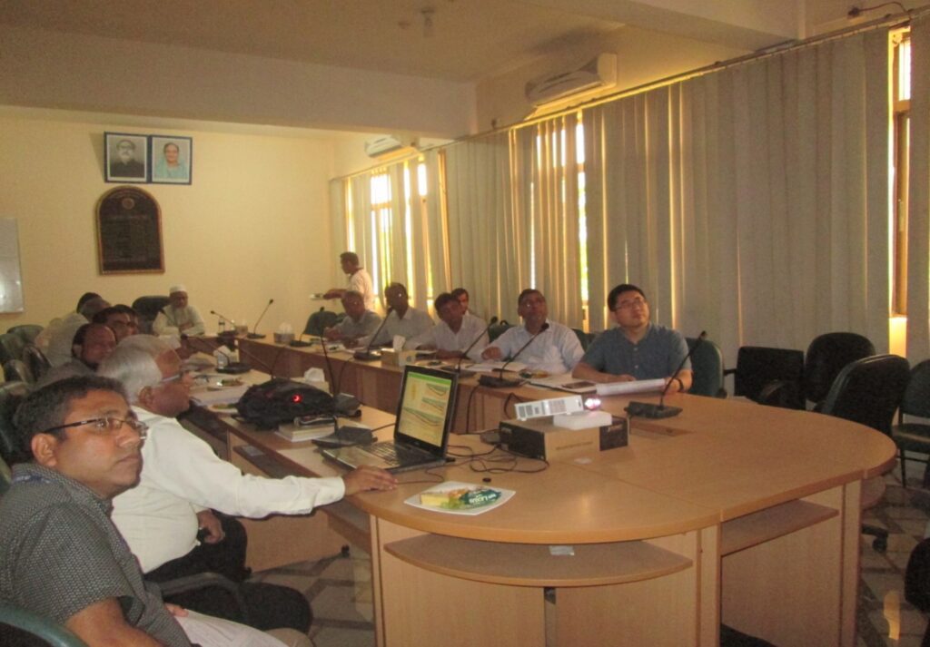
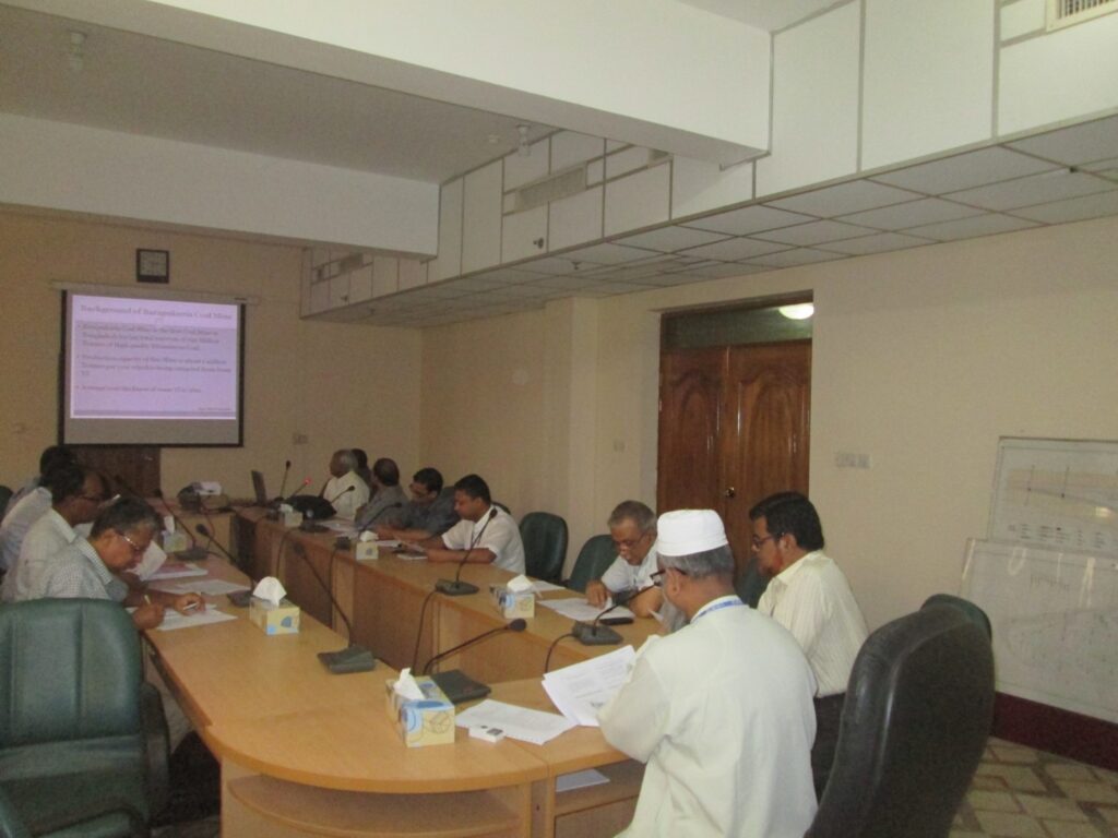
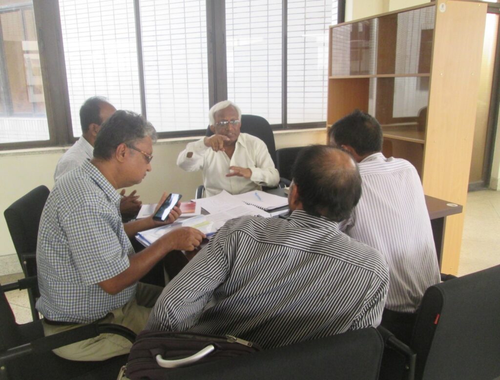
Field works at the EIA Team office in BCMCL’s main administrative building on 16 May 2017.
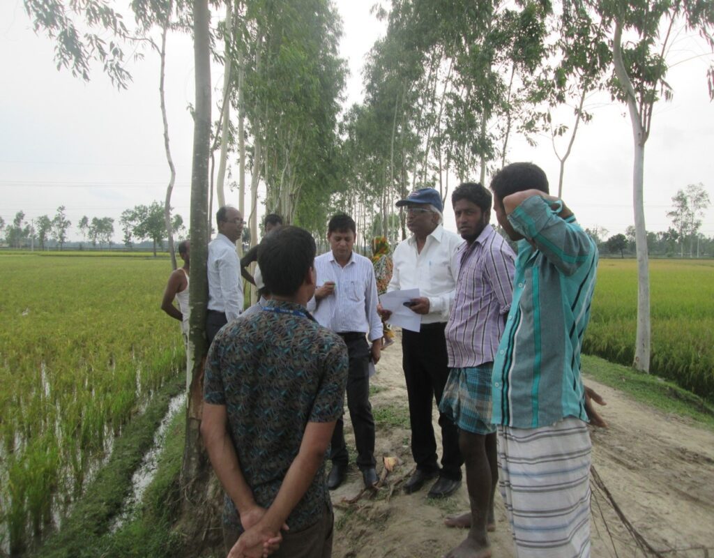
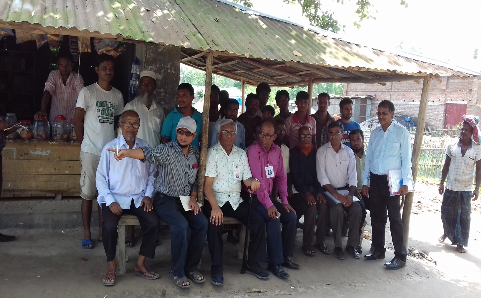
the southern zone surface area of Barapukuria Coal Mine.
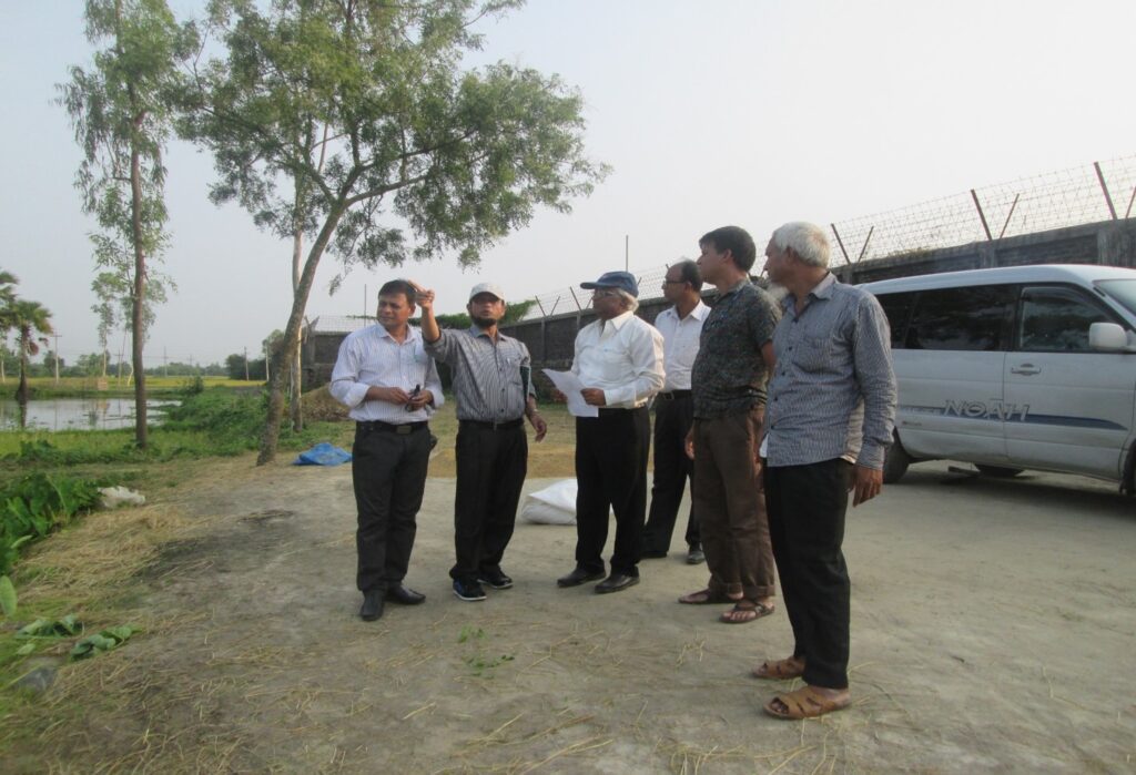
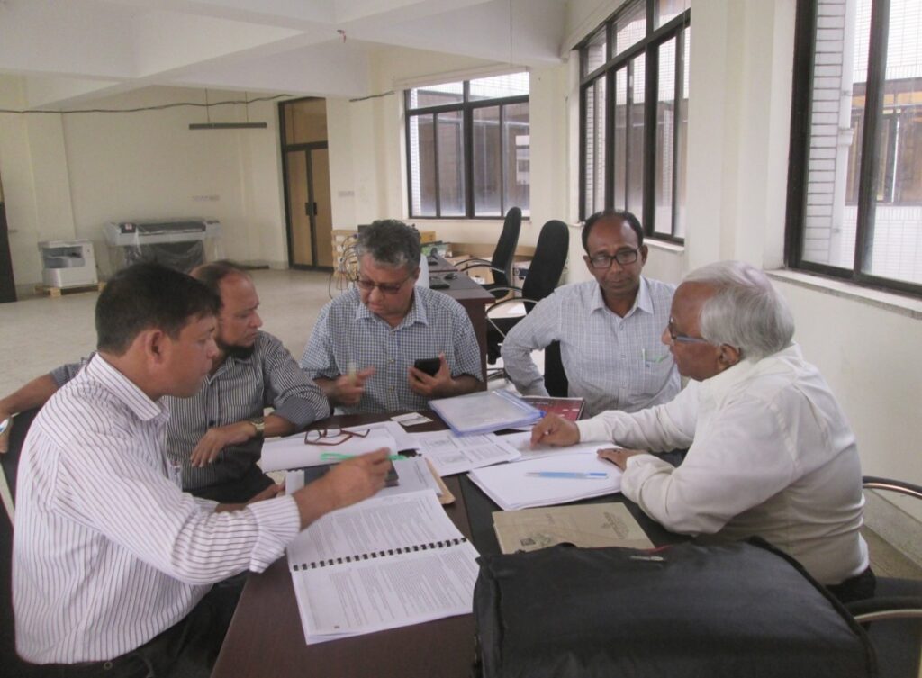
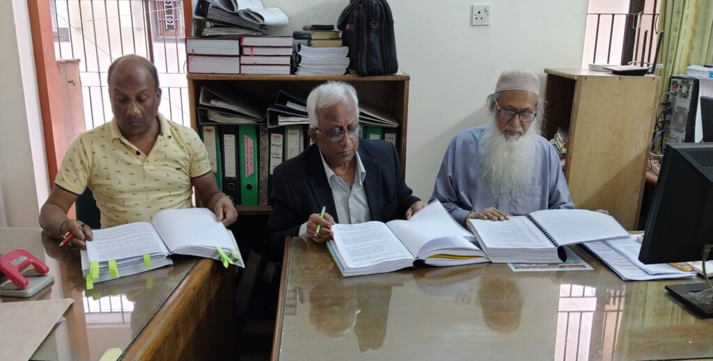
House of Consultants Ltd (HCL) with Mir Mosharraf Hossain (right), Director HCL & Mr. Ashrafuddin (left), General Manager, HCL.


